Elena Walter · 18 October 2026
Regional Planning Records Point to Rising Conflicts Over Renewable Sites and Farmland
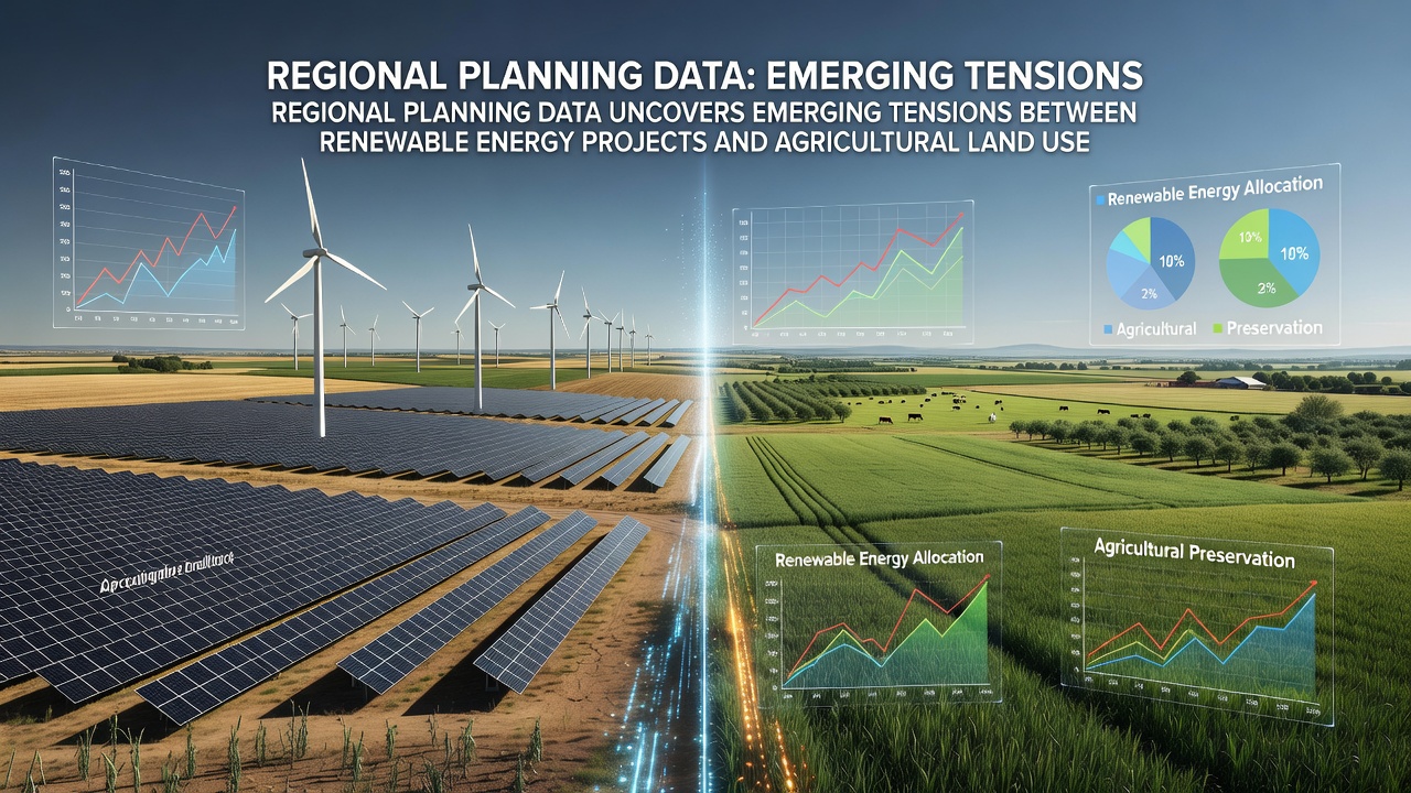
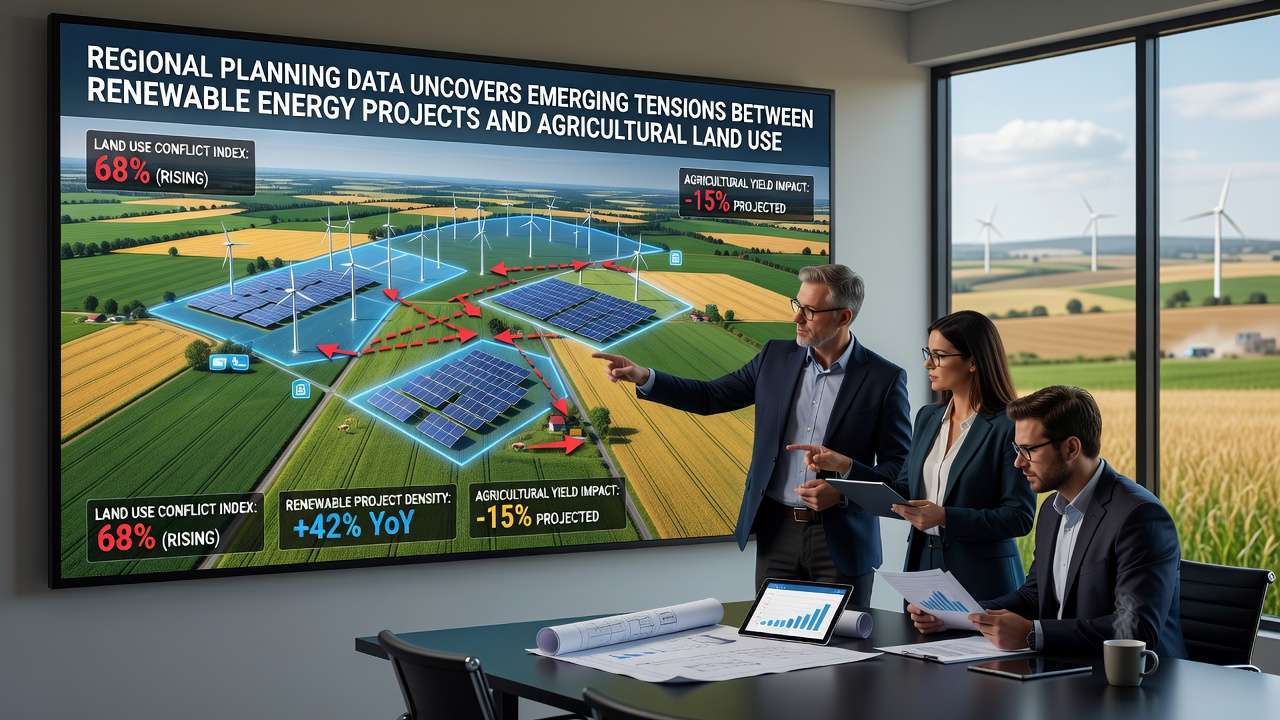
Regional planning datasets from multiple jurisdictions now document measurable increases in land allocation disputes where solar arrays and wind installations intersect with prime agricultural zones, and these records show patterns emerging across both urban fringe areas and rural districts since early 2025. Government mapping tools track applications that convert arable hectares into energy infrastructure, while agricultural output statistics reveal localized dips in certain crop yields where projects cluster. Observers note that the scale of these overlaps has accelerated as national targets for net-zero emissions push developers toward flatter, accessible terrain often already in farm production.
Tracking the Scale Through Official Records
Data compiled by regional authorities indicates that solar farm proposals alone have sought more than 45,000 hectares of agricultural land in England and Wales combined during the 2024-2026 period, with October 2026 figures showing a further 12 percent rise in submissions compared to the prior year. Similar records from the US Department of Energy highlight that utility-scale solar developments occupied roughly 1.2 million acres nationwide by mid-2026, and a substantial share of that footprint previously supported row crops or grazing. Australian planning reports echo the trend, documenting over 80,000 hectares under review for wind and solar in New South Wales and Victoria where livestock and grain operations dominate. These numbers come from cross-referenced permit databases rather than estimates, allowing direct comparison of pre- and post-approval land classifications.
Geographic Hotspots and Crop Displacement Patterns
Planning submissions cluster in regions with high solar irradiance and existing grid connections, yet those same zones frequently overlap with Grade 1 and Grade 2 agricultural land. In the East of England, for instance, multiple districts recorded solar applications covering more than 3,200 hectares of arable fields between January and September 2026, while wheat and oilseed yields in those exact parishes dropped by an average of 7 percent according to harvest statistics. Midwest US counties show parallel shifts, where corn and soybean rotations gave way to panel arrays on sites approved in 2025, and local extension services report measurable reductions in regional grain storage volumes. European Environment Agency spatial data similarly flags tensions in the Po Valley and parts of northern France, where photovoltaic arrays have displaced high-value vegetable production on alluvial soils. The pattern repeats because developers prioritize parcels with minimal slope and good road access, characteristics that also define productive farmland.
Policy Mechanisms and Mitigation Approaches
Local plans now incorporate dual-use criteria that permit continued grazing beneath elevated solar arrays or require soil restoration clauses after decommissioning, yet uptake varies by authority. In several Canadian provinces, updated guidelines mandate agrivoltaic designs that maintain at least 70 percent of original forage capacity, and early monitoring data from Ontario sites indicate livestock can continue operations with minimal productivity loss. UK planning inspectors have begun conditioning approvals on biodiversity net-gain targets that include pollinator strips along array edges, while Australian state regulators require offset plantings for every hectare converted. Research from Wageningen University in the Netherlands demonstrates that certain panel configurations allow shade-tolerant crops such as leafy greens to grow between rows, though yields remain 15 to 25 percent lower than open-field benchmarks. These approaches appear in official guidance documents rather than voluntary schemes, reflecting attempts to reconcile competing statutory duties around food security and decarbonization.
Grid Infrastructure and Cumulative Land Pressure
Beyond the arrays themselves, new substations and transmission corridors add further land requirements that planning records often log separately. October 2026 updates to the US Federal Energy Regulatory Commission interconnection queue show more than 2,800 projects awaiting review, many necessitating additional rights-of-way across farmland. In the UK, National Grid connection offers issued since 2024 have identified over 1,500 kilometers of new cabling routes that cross agricultural holdings, prompting separate compulsory purchase discussions. European transmission operators report comparable corridor expansions that fragment field patterns and complicate machinery movement for remaining farm operations. The cumulative footprint therefore exceeds the area covered by panels alone, and regional datasets increasingly aggregate these ancillary impacts when assessing overall land conversion rates.
Conclusion
Regional planning archives now supply granular evidence of where renewable energy expansion intersects with agricultural land use, and the resulting datasets allow precise measurement of hectares affected, crop categories displaced, and mitigation measures applied. Continued monitoring through 2027 will clarify whether dual-use designs and offset requirements can stabilize both energy output and food production volumes across the same landscapes.